Artificial Reef Science ·
Sonar Survey Maps 154 Southern California Reef Modules—and Shows Design Matters
A new open-access study measured relief, slope and rugosity across 13 artificial-reef complexes and wrecks, creating more accurate maps and a repeatable way to compare reef construction.
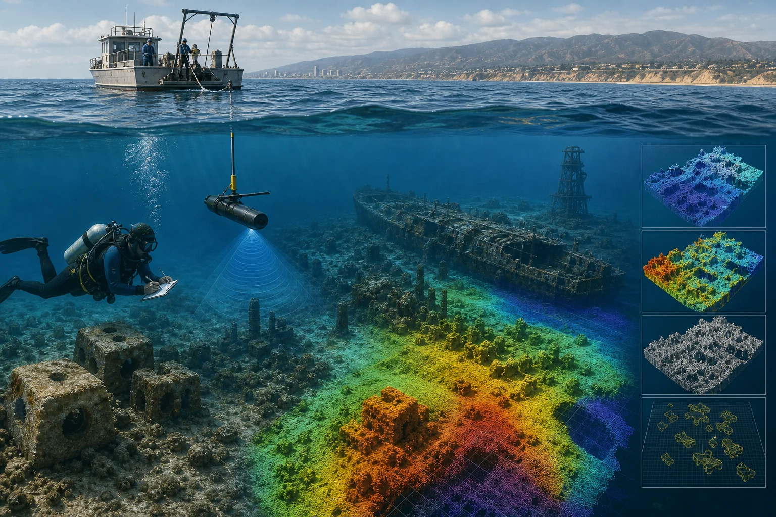
A high-resolution sonar study has produced a detailed structural inventory of artificial reefs and shipwreck reefs along the Southern California coast. Published August 26 in PLOS One, the research identified 154 individual modules across 13 reef complexes and wreck sites and quantified how their materials and designs shape the underwater habitat.
Researchers collected bathymetry and acoustic-backscatter data from 2022 through 2024 using a pole-mounted EdgeTech 6205 system. The resulting seafloor grids had 30-centimetre cells. The team used those data to delineate reef footprints and calculate volume, vertical relief, slope, rugosity and structural heterogeneity.
The modules ranged from quarry-rock reefs and scattered concrete pilings to barges, shipwrecks and a missile tower. Quarry-rock modules generally had steeper slopes, greater mean relief and higher rugosity in comparatively compact footprints. Scattered concrete modules tended to have lower average complexity but more variation because patches of soft bottom interrupted the placed material. Statistical grouping broadly tracked differences in construction material and reef design.
The study does not establish that one material produces more fish or better ecological outcomes in every setting. Its main contribution is a standardized physical description of reef habitat that can be paired with biological monitoring in future work. It also updates positions and extents that had previously depended on older maps and construction records.
For divers, better mapping can improve understanding of a site's actual footprint, relief and layout. However, the publication is not a navigation or safety guide, and coordinates or depth contours should not be substituted for current official charts, local operator knowledge or site-specific access information. Several surveyed locations fall within common recreational or technical-diving depth ranges, while International Reef extends to about 49 metres.
For reef managers, the workflow offers a way to compare existing structures and design future modules using measurable habitat characteristics. NBM can use the public dataset to strengthen California artificial-reef and wreck records, while clearly separating scientific mapping from verified dive-access guidance.
Connected reporting
Dive sites and aquatic life in this story
Reporting record