Artificial Reefs ·
Northern Territory Plans 55-Module Reef Network at Charles Point
A AU$1.6 million project will design, build and deploy purpose-built habitat modules inside the Charles Point Wide Reef Fish Protection Area, with completion targeted for March 2027.
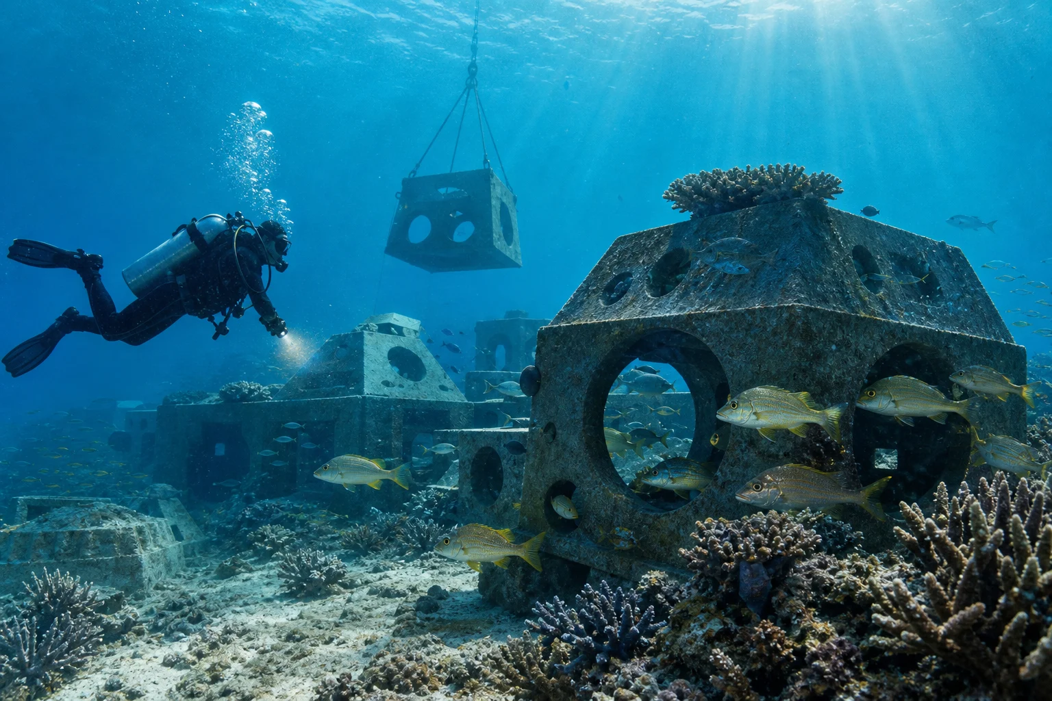
The Northern Territory Government has commissioned a new artificial reef network within the Charles Point Wide Reef Fish Protection Area near Darwin, moving a purpose-built habitat project from planning into survey, design and construction.
The Department of Logistics and Infrastructure says the project is being delivered for the Department of Agriculture and Fisheries to support the recovery of at-risk reef fish, particularly golden snapper. The government selected the Charles Point area after desktop bathymetric assessment and consideration of long-term reef-fish protection objectives.
A government media release dated August 27 says HCS Constructions NT received the AU$1.6 million contract and will work with Darwin-founded marine-habitat specialist In-Depth Innovations. The planned reef will comprise 55 large modules. A Northern Territory procurement record lists the contract award on August 17.
The project page provides more detail about the intended architecture. Designs are expected to incorporate shade, water-flow features that promote upwelling, and openings of different sizes. Those elements are meant to create varied shelter and feeding opportunities rather than a uniform pile of material. Modules will be fabricated at East Arm, transported by barge and installed at Charles Point.
Survey and design work was scheduled to begin in August 2026. The government anticipates completing the overall project by March 2027, although weather and marine operating conditions could change that schedule.
For divers, the project is notable as a deliberately engineered reef network within an existing fish-protection area. Over time, it could become useful for observing how different structural features are colonized and how golden snapper and other reef species use the habitat. It may also offer a new survey or recreational-diving location if authorities permit public access.
It is not yet a dive site. The available government material does not provide deployment coordinates, charted depths, minimum clearance, mooring arrangements or access rules. It also does not report that any modules have been placed. Divers should wait for official deployment confirmation, updated charts and site-management guidance before planning a visit.
The ecological case should be described carefully. The project is intended to add habitat complexity and assist fish recovery, but deployment alone will not prove that it increases regional fish production rather than redistributing animals from nearby habitat. The government says fisheries researchers will have an opportunity to monitor the reef's effectiveness. Future reporting should look for baseline data, module-by-module surveys, fish abundance and size trends, and comparisons with unstructured seabed and natural reef sites.
Connected reporting
Dive sites and aquatic life in this story
Reporting record