NBM Dive Site Resource
Mnemba Atoll
Zanzibar, Zanzibar North, Tanzania
UNVERIFIED — Mnemba Atoll is the legacy broad-area orientation profile for diving around Mnemba Island and its marine conservation area. The island is not geologically an atoll; exact sub-sites are profiled separately. Confirm current access, fees, conditions and support locally.
Save this dive site to your free member profile.
Historic Picture Placeholder

Aquatic life at this dive site
What divers may encounter
Three reviewed connections are featured here. Sightings vary by season, conditions, and chance, so they are never guaranteed.
Aquatic life research in progress
NBM is reviewing a likely local species for this position.
Aquatic life research in progress
NBM is reviewing a likely local species for this position.
Aquatic life research in progress
NBM is reviewing a likely local species for this position.
Site media
Photographs
Three views rotate from the published gallery on each visit.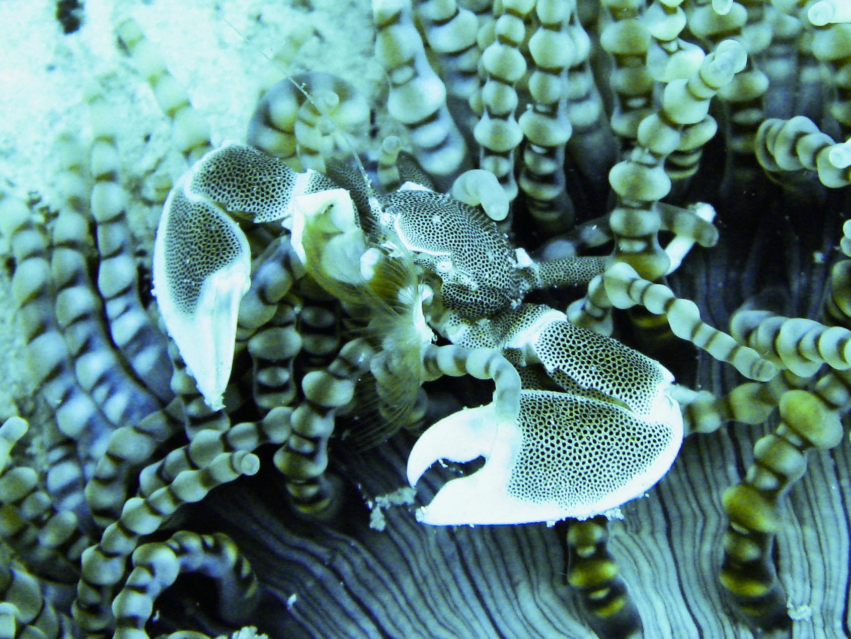

Contributor media
Dive videos
Three featured video positions are reserved on every profile.Published reference location
Location map
The marker shows the public coordinates associated with this profile. Confirm current access, moorings, and departure details before the dive.Map data © OpenStreetMap contributors
Recent field observations
Diver-reported temperatures
Automatically checked observations from dives during the past 14 days. Three reports are visible at a time; scroll for more.A report that passes the automatic checks will appear here with the dive date, diver’s display name, and temperatures at each depth.
Reports are automatically checked for plausible dates, depths, and temperatures. They are observations, not forecasts; confirm conditions before diving.
Why divers know this place
Highlights
Mnemba conservation-area reefs, walls, bommies and drift-diving options; wildlife is not guaranteed.
Dive-area module
Area coverage
This profile represents a preserve, sanctuary, park, or regional dive area rather than one underwater site. The sourced inventory below links to the named sites documented within its boundaries.
Before you arrive
Access notes
Broad orientation only. Use exact named sub-site profiles for planning. Coordinate is approximate, display-only and not for navigation.
Plan within your training
Conditions and hazards
Variable current, deep drop-offs, boat traffic and blue-water exposure. Stay with a guide and within certification, gas and decompression limits.
At the site
Facilities and support
Current Zanzibar operators publish guided diving, training, boats and rental; reconfirm oxygen, communications and evacuation arrangements.
Independent resource notice
This record is a starting point for independent verification. Access, closures, moorings, weather, currents, depth, visibility, operator availability, and site conditions can change without notice. Confirm current information with the responsible operator, property owner, managing authority, or another qualified local source before planning or attempting a dive.