NBM Dive Site Resource
Isle Royale National Park Dive Area
Isle Royale, Michigan, United States
Official protected Great Lakes area in Lake Superior, grouping source-checked wrecks and other dive locations from the managing authority inventory.
Save this dive site to your free member profile.
Historic Picture Placeholder
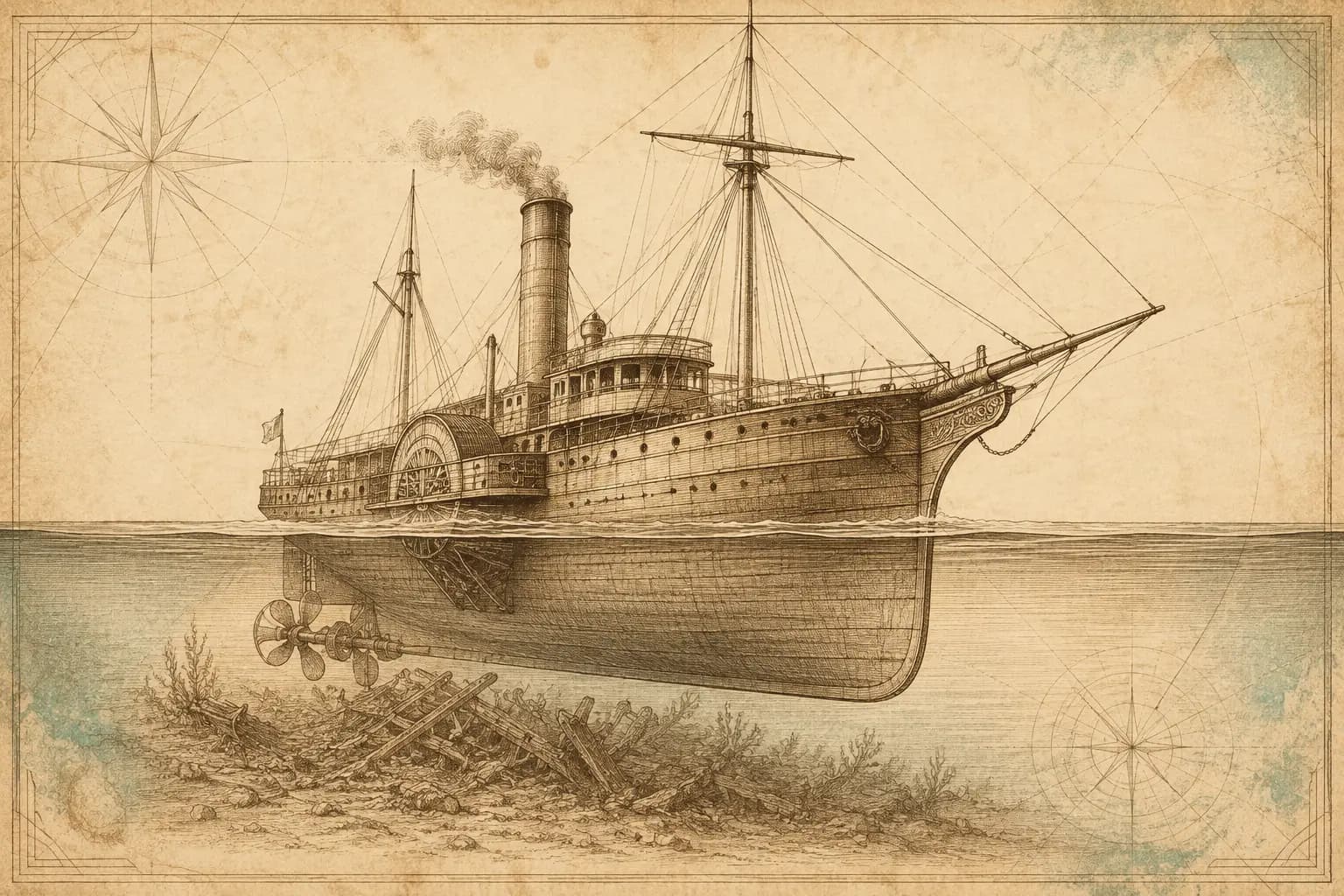
Aquatic life at this dive site
What divers may encounter
Three reviewed connections are featured here. Sightings vary by season, conditions, and chance, so they are never guaranteed.
Aquatic life research in progress
NBM is reviewing a likely local species for this position.
Aquatic life research in progress
NBM is reviewing a likely local species for this position.
Aquatic life research in progress
NBM is reviewing a likely local species for this position.
Site media
Photographs
Three views rotate from the published gallery on each visit.
Contributor media
Dive videos
Three featured video positions are reserved on every profile.Published reference location
Location map
The marker shows the public coordinates associated with this profile. Confirm current access, moorings, and departure details before the dive.Map data © OpenStreetMap contributors
Recent field observations
Diver-reported temperatures
Automatically checked observations from dives during the past 14 days. Three reports are visible at a time; scroll for more.A report that passes the automatic checks will appear here with the dive date, diver’s display name, and temperatures at each depth.
Reports are automatically checked for plausible dates, depths, and temperatures. They are observations, not forecasts; confirm conditions before diving.
Why divers know this place
Highlights
10 officially inventoried dive locations are linked below.
Dive-area module
Area coverage
This profile represents a preserve, sanctuary, park, or regional dive area rather than one underwater site. The sourced inventory below links to the named sites documented within its boundaries.
Official inventory
Dive sites within this area
These named sites come from an authoritative preserve, sanctuary, park, or historical inventory. Their inclusion does not mean every connected boat visits them.
Widely scattered stern wreckage from an early steel-hulled Great Lakes passenger steamer and the site of Lake Superior's largest loss of life.
Open dive-site profile →ShipwreckSS AmericaIsle Royale, Michigan · 2–80 ftA popular Isle Royale package-freighter wreck with an ice-damaged bow and largely intact midship and stern spaces.
Open dive-site profile →ShipwreckSS Henry ChisholmIsle Royale, Michigan · Approximately 30–155 ft / 9–47 m; deeper sections are technicalTECHNICAL DIVE REQUIRED FOR THE DEEPER SECTIONS — SS Henry Chisholm shares the Rock of Ages reef site with Cumberland and reaches approximately 155 ft / 47 m. The deepest engine, shaft and wreckage areas exceed recreational limits.
Open dive-site profile →ShipwreckSS Chester A. CongdonIsle Royale, Michigan · 20–200 ftTECHNICAL DIVE REQUIRED FOR THE DEEPER SECTIONS — A steel bulk freighter broken across Canoe Rocks, with an intact bow and pilothouse on one side of the reef and a deep intact stern on the other.
Open dive-site profile →ShipwreckSS George M. CoxIsle Royale, Michigan · 40–100 ftThe scattered remains of a former passenger steamer, featuring twisted steel plating, exposed machinery and propeller.
Open dive-site profile →ShipwreckSS CumberlandIsle Royale, Michigan · 30–90 ftA nineteenth-century wooden sidewheel passenger steamer whose large hull sections, sidewheel and boiler share Rock of Ages reef with Henry Chisholm.
Open dive-site profile →Before you arrive
Access notes
Use the linked site profiles for depth, access, experience, and hazard information. This map point is an approximate regional center, not a wreck, buoy, entry point, or navigation coordinate. Open an individual dive-site profile and confirm current information with the managing agency or operator before diving.
Plan within your training
Conditions and hazards
Cold water, changing Great Lakes weather, visibility, currents, boat traffic, and site-specific depth or overhead hazards.
Independent resource notice
This record is a starting point for independent verification. Access, closures, moorings, weather, currents, depth, visibility, operator availability, and site conditions can change without notice. Confirm current information with the responsible operator, property owner, managing authority, or another qualified local source before planning or attempting a dive.