NBM Dive Site Resource
Caribsea
Cape Lookout, North Carolina, United States
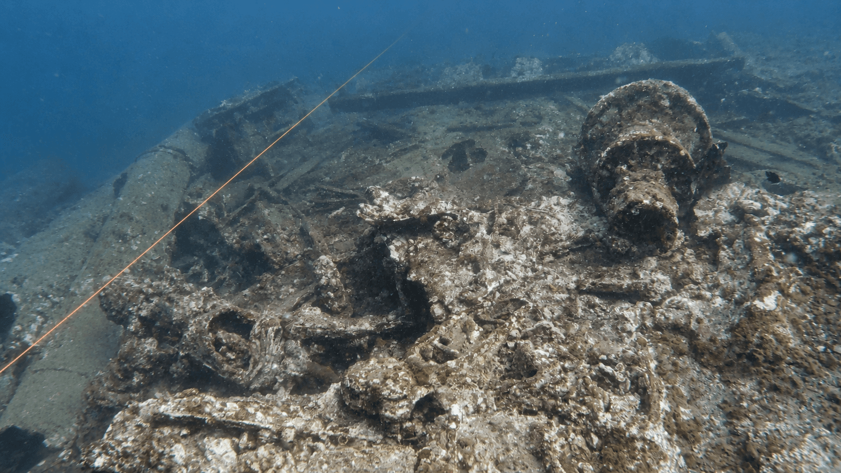
World War II freighter wreck off Cape Lookout, known for abundant fish and sand tiger sharks.
Save this dive site to your free member profile.
Featured Hero Photograph
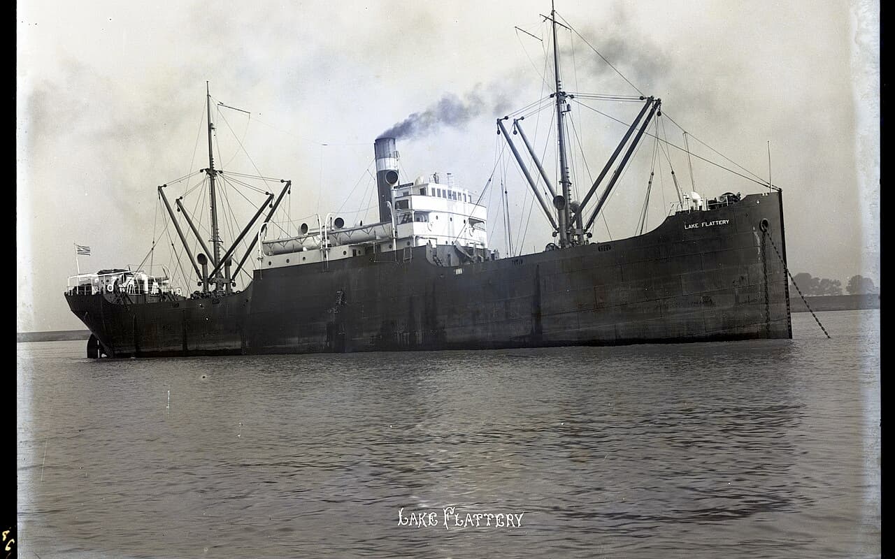
Aquatic life at this dive site
What divers may encounter
Three reviewed connections are featured here. Sightings vary by season, conditions, and chance, so they are never guaranteed.
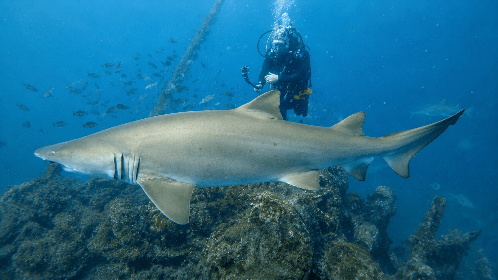
Sand Tiger Shark
Carcharias taurusThe current charter profile describes the Caribsea as populated by sand tiger sharks. They often cruise slowly above and alongside the wreck.
Naturally Buoyant MediaOpen Aquatic Life Profile →
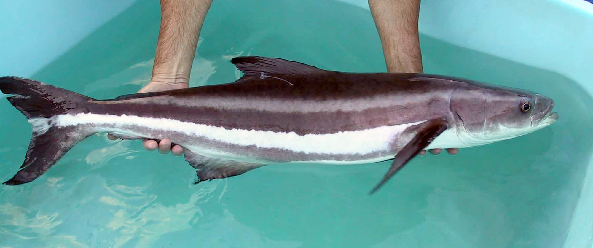
Cobia
Rachycentron canadumOlympus reports frequent summer visits by cobia. Sightings vary with warm-water conditions and may occur in open water above the wreck.
Jorge Alarcon or Dr. Daniel BenettiOpen Aquatic Life Profile →
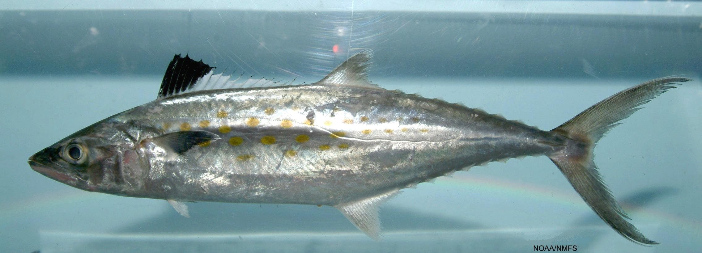
Spanish Mackerel
Scomberomorus maculaOlympus reports Spanish mackerel visiting the Caribsea in summer. Divers may see fast-moving fish around bait schools above the wreck.
SEFSC Pascagoula Laboratory; Collection of Brandi Noble, NOAA/NMFS/SEFSC.Open Aquatic Life Profile →
Site media
Photographs
Three featured views are reserved on every profile.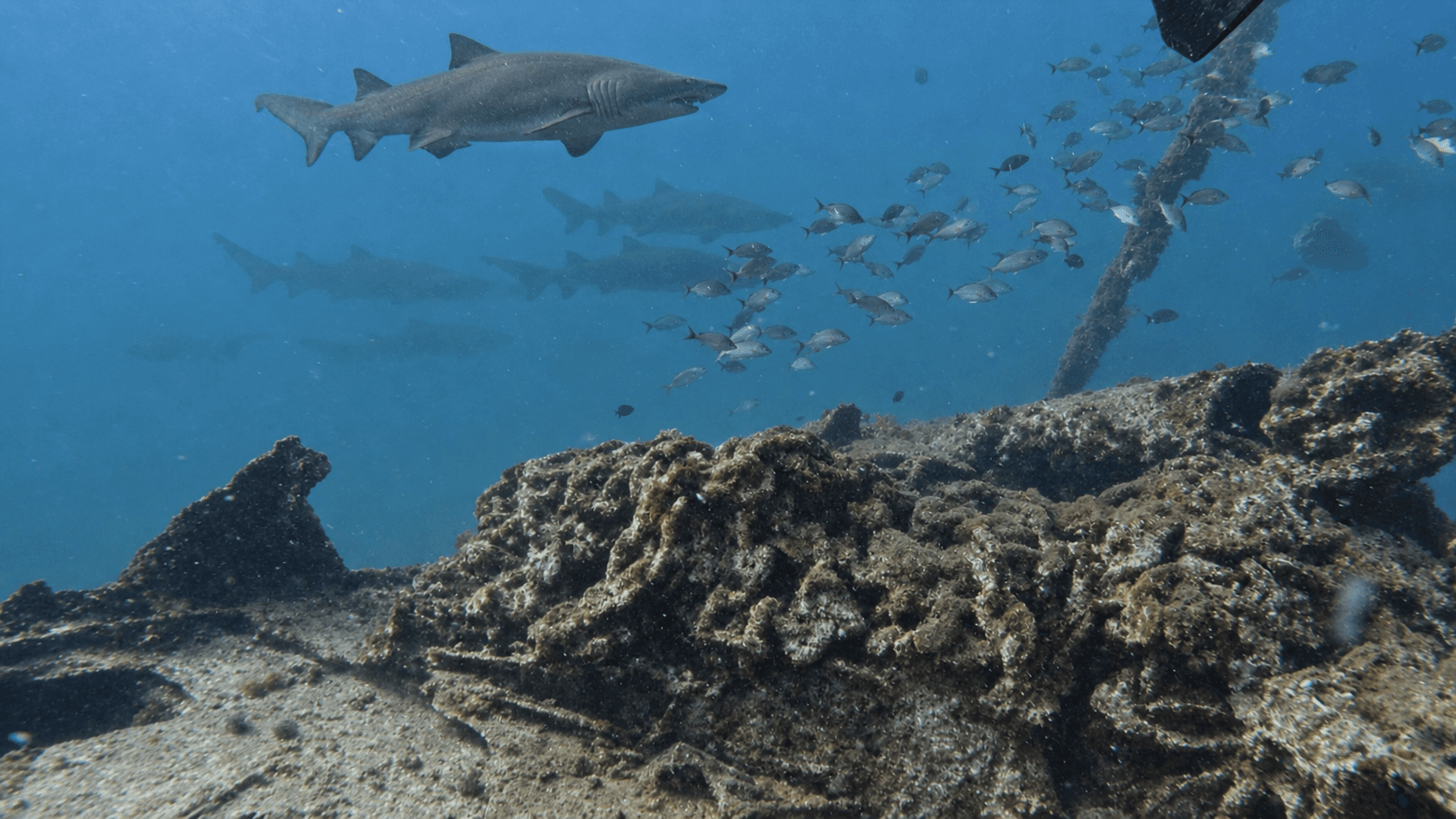
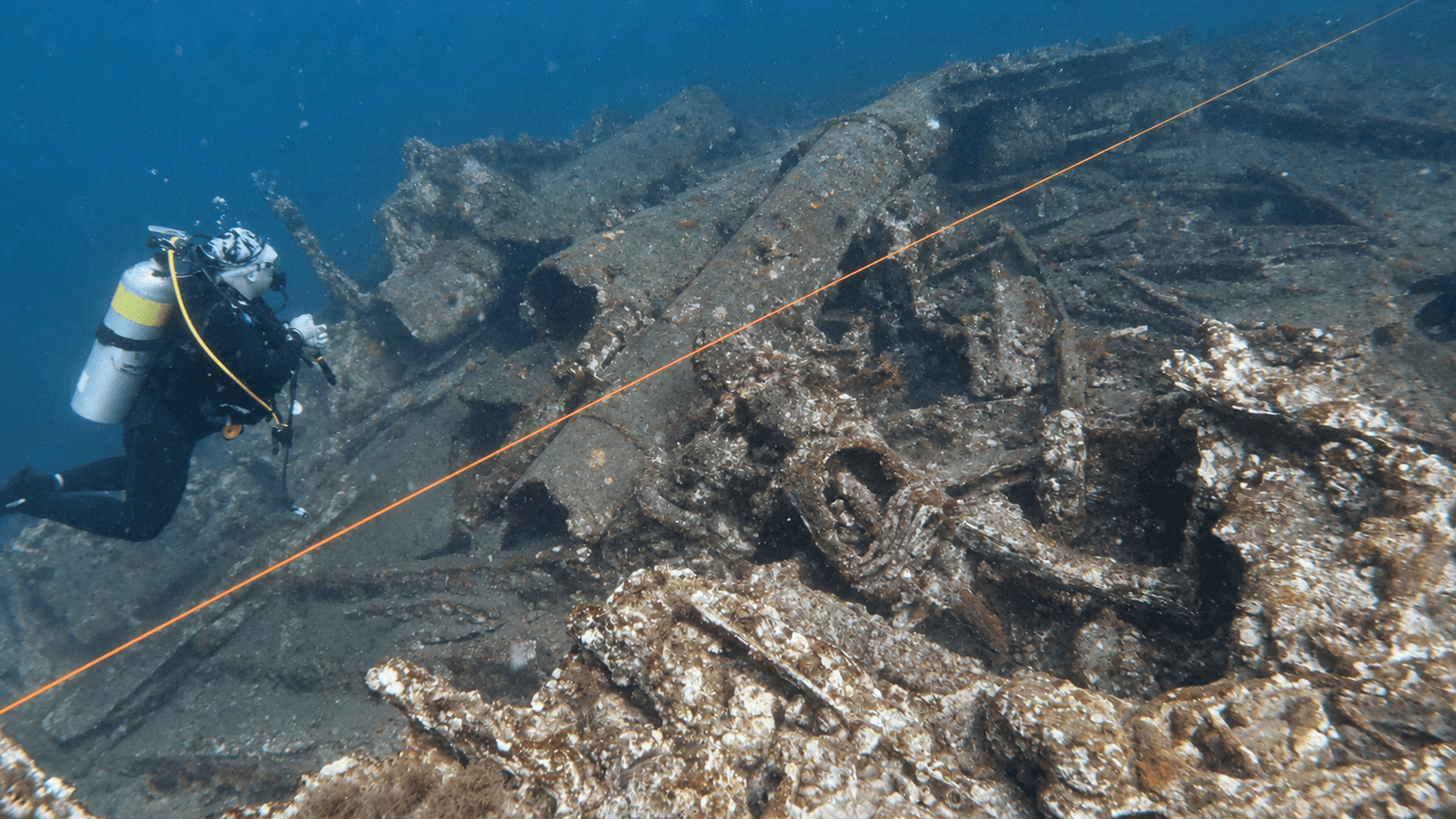
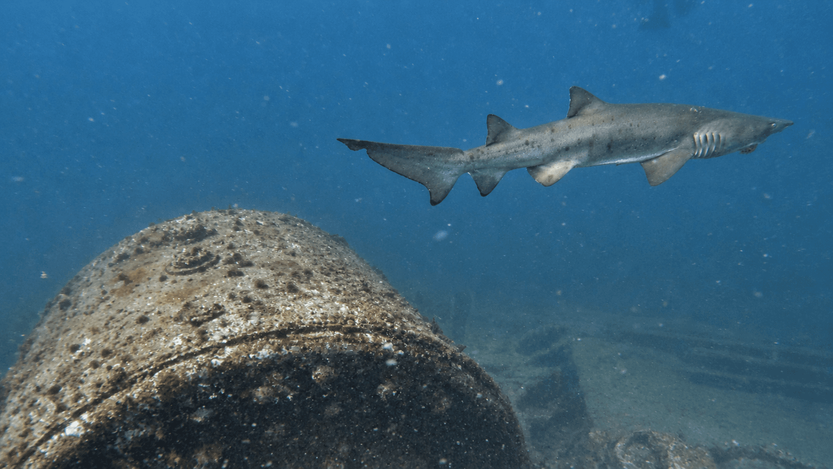
Contributor media
Dive videos
Three featured video positions are reserved on every profile.Published reference location
Location map
The marker shows the public coordinates associated with this profile. Confirm current access, moorings, and departure details before the dive.Map data © OpenStreetMap contributors
Recent field observations
Diver-reported temperatures
Automatically checked observations from dives during the past 14 days. Three reports are visible at a time; scroll for more.A report that passes the automatic checks will appear here with the dive date, diver’s display name, and temperatures at each depth.
Reports are automatically checked for plausible dates, depths, and temperatures. They are observations, not forecasts; confirm conditions before diving.
Why divers know this place
Highlights
Battle of the Atlantic or North Carolina maritime heritage wreck supporting offshore marine habitat.
Shipwreck-only module
The wreck
This section appears only on shipwreck records and brings the vessel, its loss, present condition, access, and responsible wreck-diving considerations into one place.
Plan the trip
Dive boats that visit this wreck
Olympus Dive Center operates this vessel in its North Carolina charter program and features this wreck in its dive-site guide. The exact vessel and destination are assigned by the operator.
Open boat profile →Morehead City, North CarolinaMV Olympus — Morehead City and the Crystal Coast, North Carolina Dive CharterOlympus Dive CenterOlympus Dive Center operates this vessel in its North Carolina charter program and features this wreck in its dive-site guide. The exact vessel and destination are assigned by the operator.
Open boat profile →Before you arrive
Access notes
NOAA source information is sufficient for this visibly unverified profile, but it is not a navigation plan. Confirm current coordinates, ownership/protection rules, weather, current, emergency procedures and ascent strategy. Treat military losses and fatalities as memorial sites; do not disturb or remove material. Map points are source-backed reference locations for discovery, not navigation.
Plan within your training
Conditions and hazards
Depth, current, rapidly changing visibility, waves, boat traffic, long offshore evacuation, entanglement, fishing gear, sharp or unstable wreckage and overheads. Penetration requires specific wreck/overhead training, redundancy and a suitable gas plan.
At the site
Facilities and support
No onsite facilities; all support is vessel-based. Confirm fills, oxygen, weather policy and emergency planning before departure.
Photography · Archival media
Media gallery
Additional photographs and archival media stay connected to their captions, sources, and rights information.
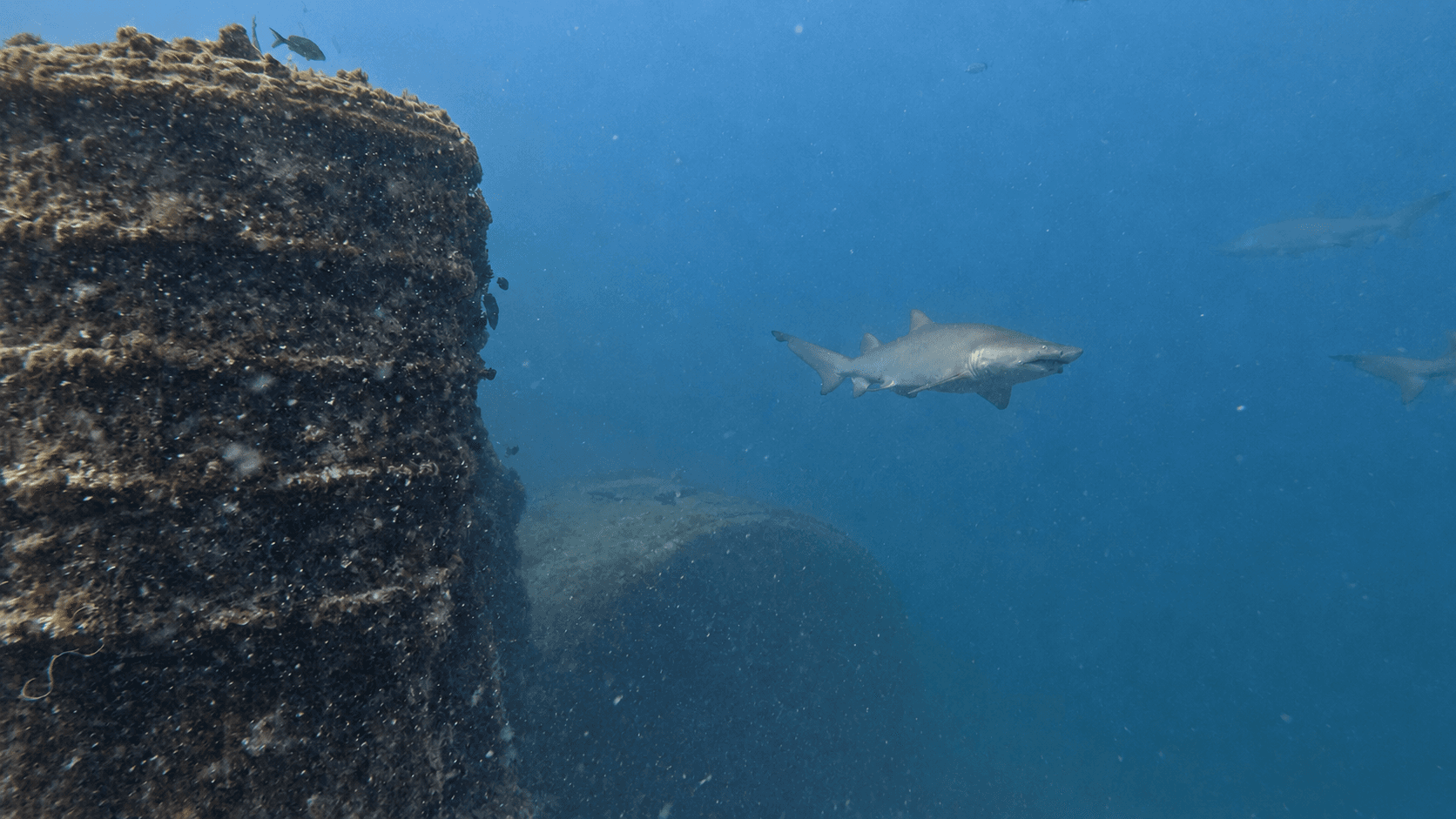
Independent resource notice
This record is a starting point for independent verification. Access, closures, moorings, weather, currents, depth, visibility, operator availability, and site conditions can change without notice. Confirm current information with the responsible operator, property owner, managing authority, or another qualified local source before planning or attempting a dive.