NBM Dive Site Resource
Alger Underwater Preserve
Munising, Michigan, United States
Official Michigan underwater preserve in Lake Superior, grouping source-checked wrecks and other dive locations from the preserve inventory.
Save this dive site to your free member profile.
Historic Picture Placeholder

Aquatic life at this dive site
What divers may encounter
Three reviewed connections are featured here. Sightings vary by season, conditions, and chance, so they are never guaranteed.
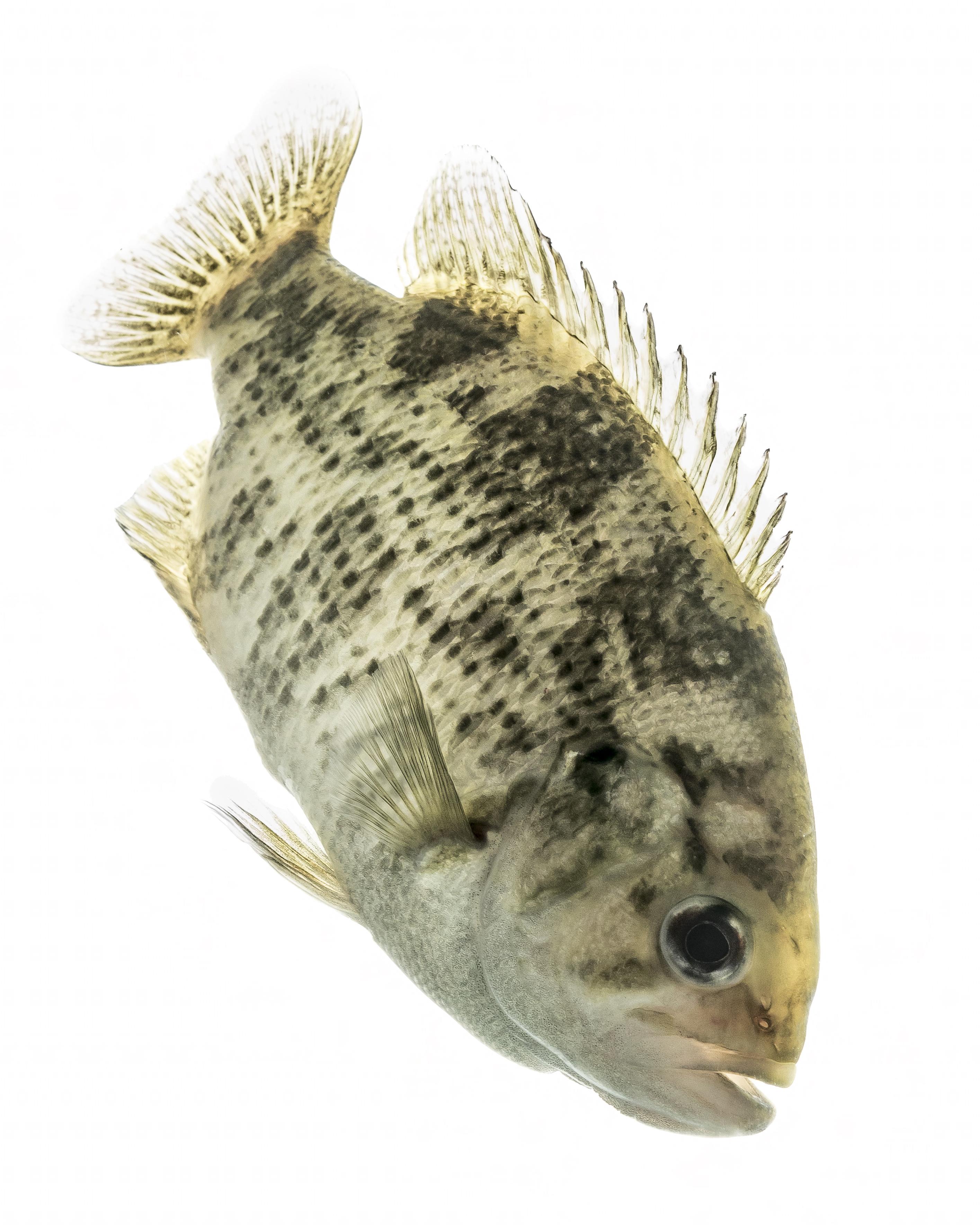
Rock Bass
Ambloplites rupestrisThe preserve reports schools of rock bass and other game fish at the Bermuda wreck.
Sam Stukel/USFWSOpen Aquatic Life Profile →

Lake Trout
Salvelinus namaycushLake trout are common cold-water fish in the Pictured Rocks and Alger County waters of Lake Superior.
Knepp Timothy, U.S. Fish and Wildlife ServiceOpen Aquatic Life Profile →

Lake Whitefish
Coregonus clupeaformisLake whitefish are common native fish in the Pictured Rocks nearshore waters adjacent to the preserve.
Seb951Open Aquatic Life Profile →
Site media
Photographs
Three views rotate from the published gallery on each visit.
Contributor media
Dive videos
Three featured video positions are reserved on every profile.Published reference location
Location map
The marker shows the public coordinates associated with this profile. Confirm current access, moorings, and departure details before the dive.Map data © OpenStreetMap contributors
Recent field observations
Diver-reported temperatures
Automatically checked observations from dives during the past 14 days. Three reports are visible at a time; scroll for more.A report that passes the automatic checks will appear here with the dive date, diver’s display name, and temperatures at each depth.
Reports are automatically checked for plausible dates, depths, and temperatures. They are observations, not forecasts; confirm conditions before diving.
Why divers know this place
Highlights
14 officially inventoried dive locations are linked below.
Dive-area module
Area coverage
This profile represents a preserve, sanctuary, park, or regional dive area rather than one underwater site. The sourced inventory below links to the named sites documented within its boundaries.
Official inventory
Dive sites within this area
These named sites come from an authoritative preserve, sanctuary, park, or historical inventory. Their inclusion does not mean every connected boat visits them.
An unusually intact nineteenth-century wooden canal schooner resting upright in the protected waters of Murray Bay within the Alger Underwater Preserve.
Open dive-site profile →ShipwreckGeorgeMunising, Michigan · 15 ftOfficially inventoried shipwreck in Alger Underwater Preserve. Verify current conditions, access, and mooring status before diving.
Open dive-site profile →ShipwreckHerman H. HettlerMunising, Michigan · 10–30 ftA widely scattered wooden-steamer wreck field at Trout Point, with major sections and machinery distributed across shallow Lake Superior depths.
Open dive-site profile →ShipwreckKiowaMunising, Michigan · 20–40 ftThe remains of a 251-foot steel bulk freighter on an Au Sable reef west of Grand Marais, one of Shipwreck Tours’ published Alger Preserve scuba destinations.
Open dive-site profile →ShipwreckManhattanMunising, Michigan · 15–40 ftA shallow, widely spread wooden-steamer site along the west side of the Grand Island east channel, with framing, iron strapping, rudder and machinery remaining.
Open dive-site profile →ShipwreckSmith MooreMunising, Michigan · 100 ftA nearly intact 260-foot wooden steamer resting on sand in the Munising East Channel, with the deck around 80 feet and the bottom near 100 feet.
Open dive-site profile →Before you arrive
Access notes
Use the linked individual site profiles for depth, access, and hazard information. This map point is an approximate regional center, not a wreck, buoy, entry point, or navigation coordinate. Open an individual dive-site profile and confirm current information with the managing agency or operator before diving.
Plan within your training
Conditions and hazards
Great Lakes weather, cold water, visibility, currents, boat traffic, and site-specific depth or overhead hazards.
Independent resource notice
This record is a starting point for independent verification. Access, closures, moorings, weather, currents, depth, visibility, operator availability, and site conditions can change without notice. Confirm current information with the responsible operator, property owner, managing authority, or another qualified local source before planning or attempting a dive.